|
April 16, 2023
|
Cajon Pass to Swarthout Canyon Rd.
|
|
Mile 341.8-347.3
|
1:56 (moving) / 2:53 (total)
|
|
|
Max 3,422 feet (+1,231 / -696)
|


Pacific Crest Trail – Day 25
At only 5.5 miles this section was one of the shortest PCT section hikes we have done yet there is so much to share about this experience. First, I can't believe it's been over 6 months since our last PCT section hike. Mostly it's been winter and a record snowing season is the excuse we have been going with especially since the current sections we have next because of the altitude are not the best in the winter. The last two sections (Day 20, Day 24) I hiked with only Oobrianoo, so for Mai it had been over 10 months she had been off the trail so it was great to have her as a companion again!
Every PCT section hike has logistics to figure out, but this one was really the simplest mainly for the fact that it's literally the closest access to the PCT from home, only 45 minutes each way. The only drawback is that Oobrianoo couldn't join us which meant Mai and I had to drive separate for only the second time since mile 100 or Day 8. Even dropping our second car at the end point was simple as the drive from the trailhead was nearly the same distance as the hike.
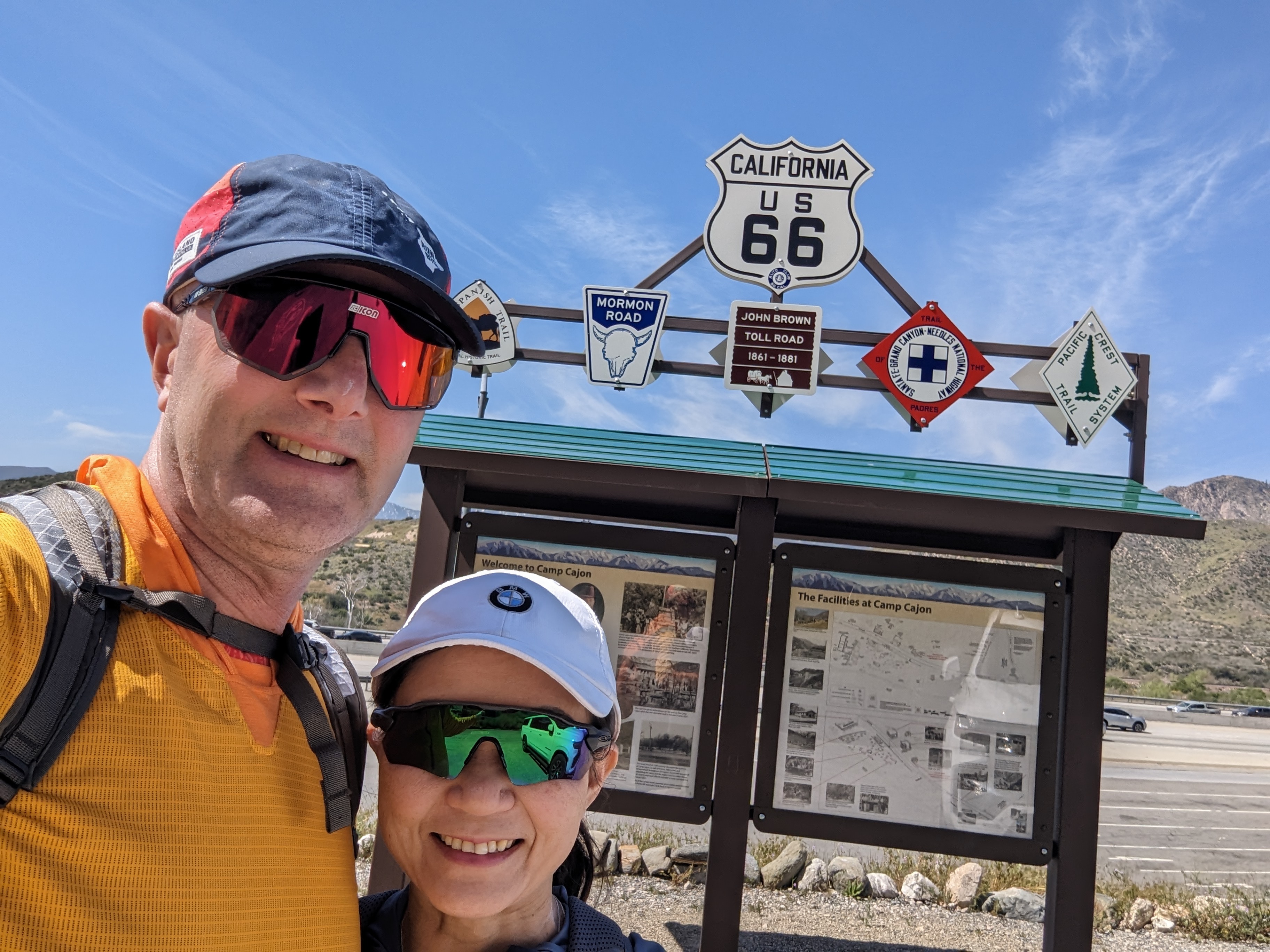
While most PCT section hikes start super early in the morning, because of the proximity to home and the short distance that was chosen to hike there was no early rush to get to the trailhead. It would only be a couple of an hour hike so after dropping off our first car we arrived at Cajon Pass and were on the trail by 11 a.m.
Once again, starting from where I left off last time I knew the area quite well. I had been following the 2023 PCT thru hiker class and they are having all kinds of issues with the snow in the San Jacinto & San Bernardino mountains but expected to see some of the diehards on the hike today. Sure enough, we hadn't even left the car and already one guy was dashing toward the McDonalds which is adjacent to the trail. Probably the first time since the beginning of the PCT heading northbound where food of any kind was so close. As we turned right and went under the tunnel there were another 4 thru hikers coming from the south which also turned and hightailed it directly to McDonalds. I love it! I was hoping when we finished our hike we could also stop in and see if there were any thru hikers we could converse.
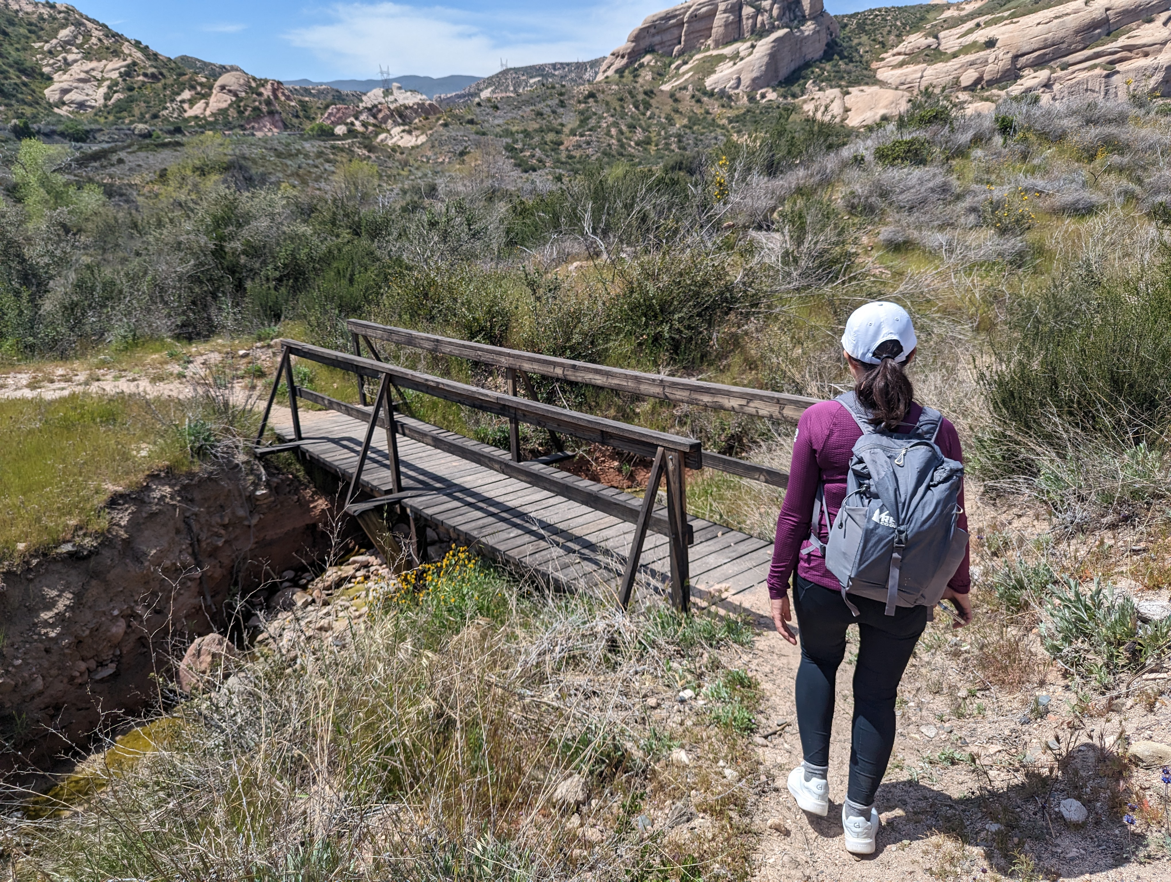
In the first 5 minutes of the hike we passed under I-15. There was water running through the river but we had just enough clearance to walk on the edge of the tunnel without getting our feet wet. We did see a couple PCT signs so knew we were heading in the right direction, but soon we would especially be missing Oobrianoo's navigational skills as we followed some footprints in the sand that lead us off track and soon there was no clear trail. My first instinct as to pull out my cellphone and check the FarOut app to see where we went wrong. Just then I realized my last hike was in October, and I got a new phone in November and I had never downloaded the app or the maps on the new device. Ugh. Ok, plan B. As recommended by my friend Matt, I also had subscribed to AllTrails and as luck would have it, the app was loaded on my phone and I was able to consult the map and could see if we backtrack a little the trail goes immediately to the right after the tunnel however we mistakenly went left.
We were soon back on track and would not lose the trail the rest of the day. Mai had a great quote in the morning when we started, "PCT great to see you...I've missed you". I channeled her positive energy and shared with her I enjoyed her early enthusiasm. We immediately saw a monument off to the left of the trail that looked interesting enough to walk over and check out. I took a few pictures and when I returned home I learned it's the Stoddard-Waite Monument which marked the western extension of the Sante Fe Trail traveled by them in 1849.
Most PCT sections we've gone hours if not days without seeing anyone else on the trail. It was already looking like this section, especially this time of the year, was especially busy. The hike was mostly uphill start to finish and as we began our first incline after leaving the river bed our first three trail runners come zooming by. We'd already seen eight people and hardly a half of mile into our hike. We typically guess how many people we will see but we were so amazed by the landscape I think we were distracted and never revisited our guesses for number of hikers.
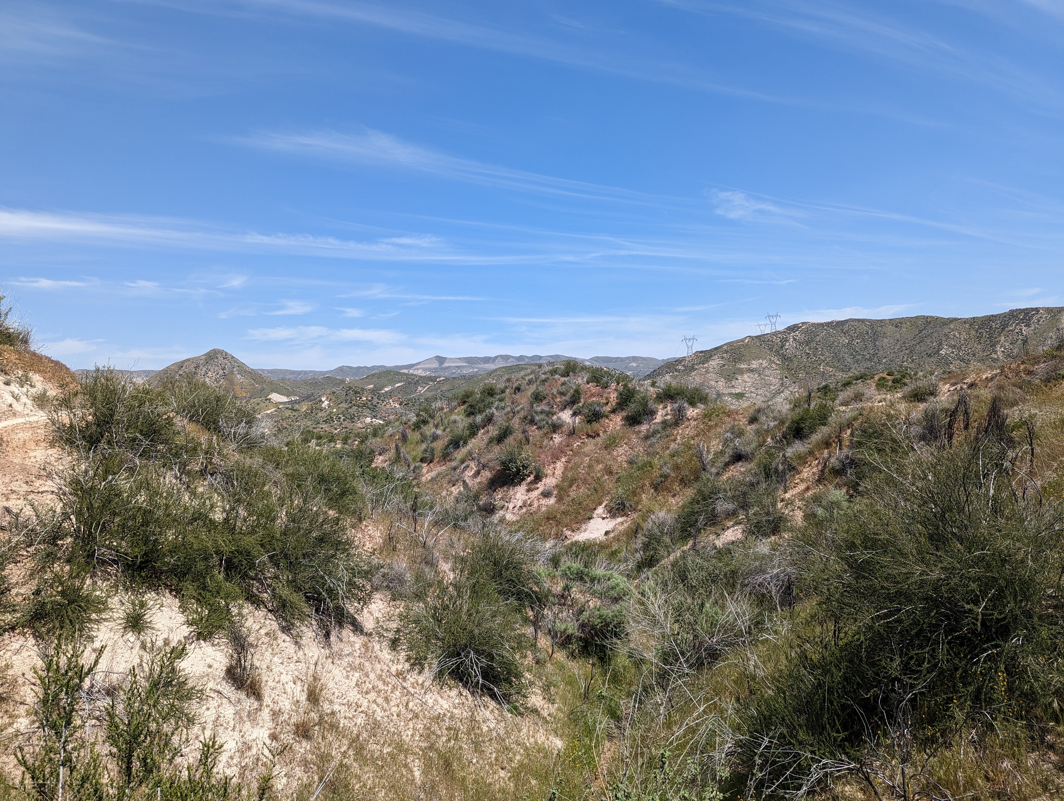
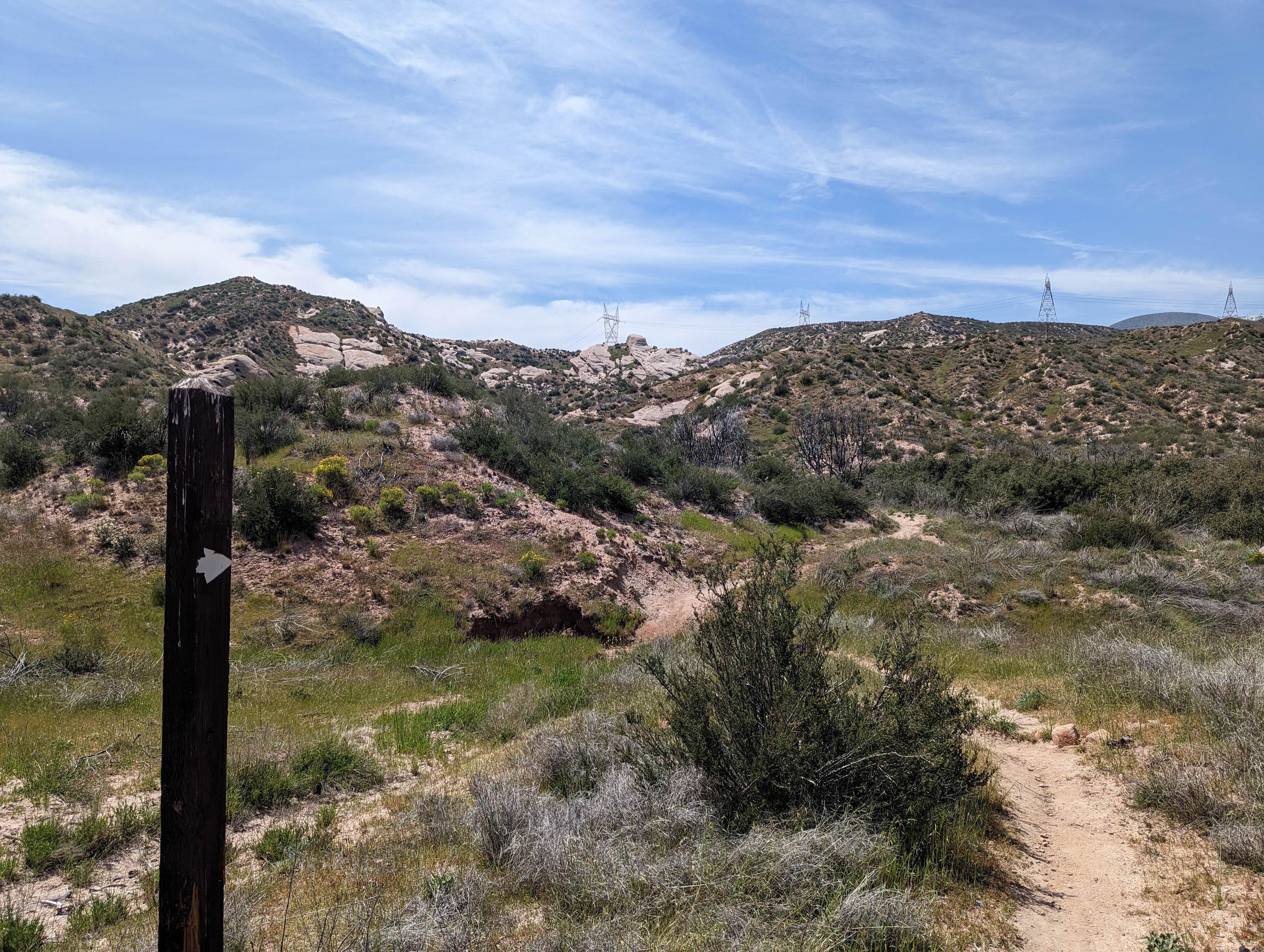
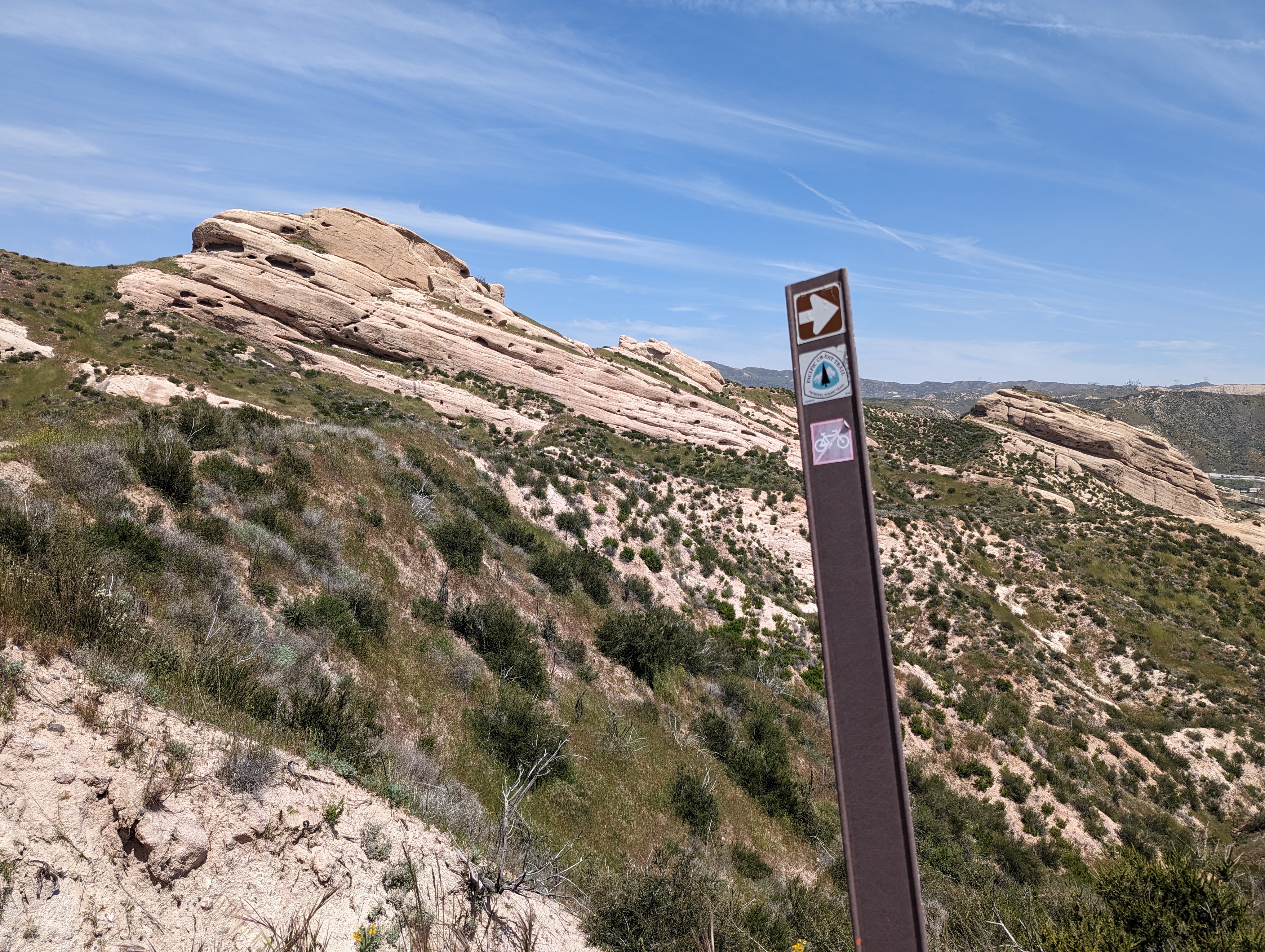
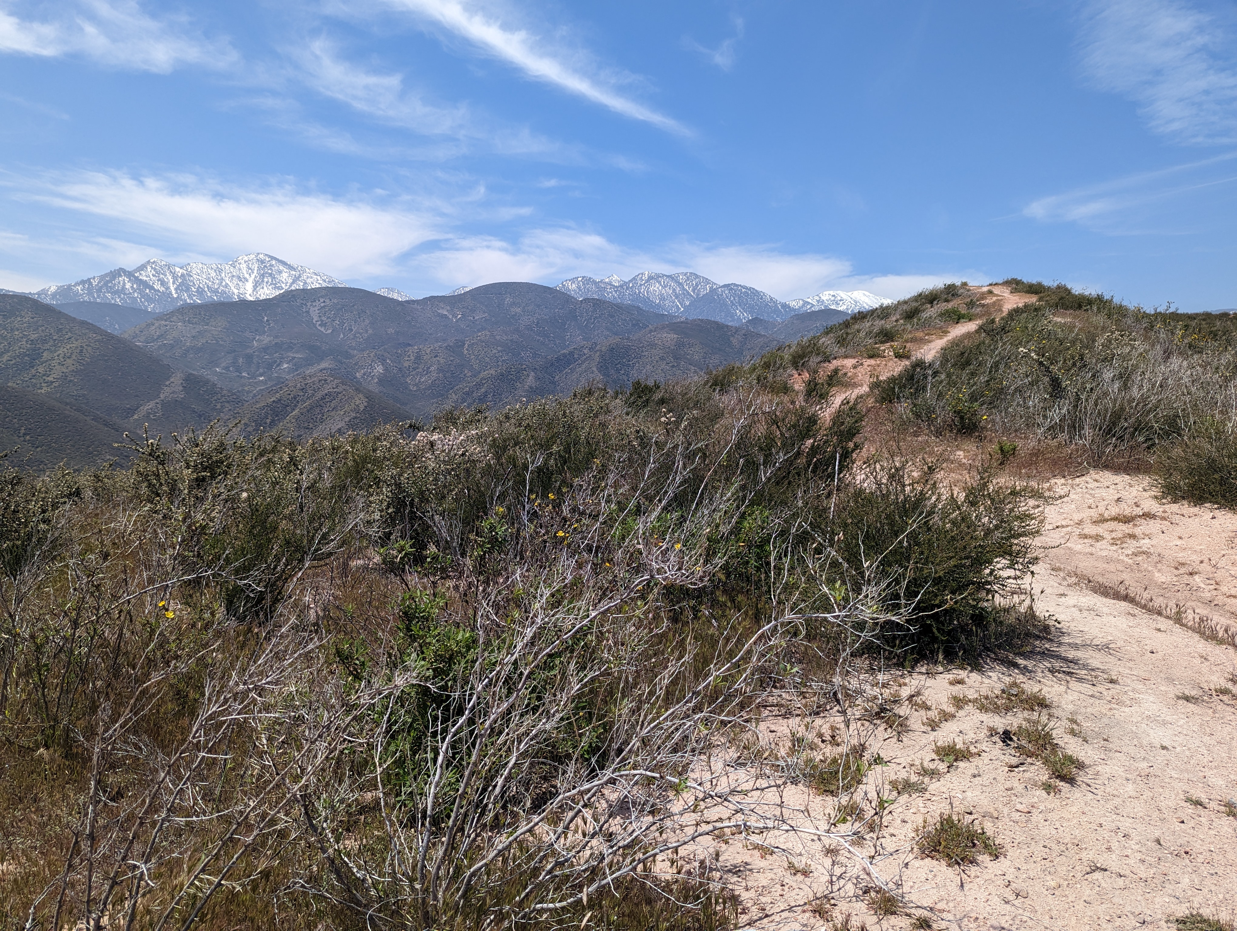
One thing was quickly obvious for some reason there were PCT signs around every corner. Again some sections you go for hours wondering if you are on the right path but with a plethora of markers there was no mistaking, we were on the right track the entire day. The skies were blue, the trail was straightforward, and the temperature was ideal for shorts and not even a need for a windbreaker.
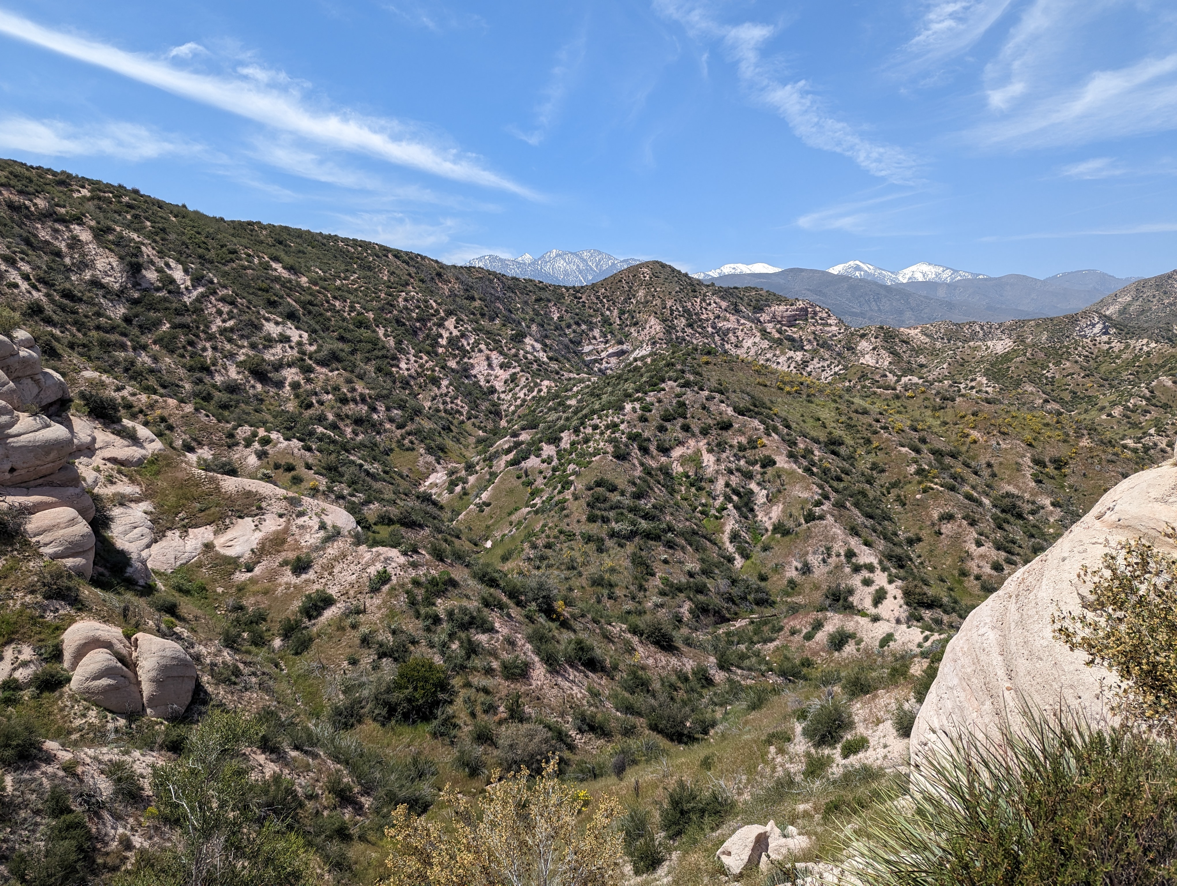
We passed a day hiker doing an out and back route. He warned us there is a railroad crossing and the trail sign makes it appear you need to turn to the right but the trail basically continues straight across the tracks. Another climb to a nice vista with a nice benchmark was at the top of the next plateau which was perfect for some photos. The PCT always has interesting sights to see around every corner and this short section did not disappoint primarily because of all the interesting rock formations on the first part of the hike then eventually as we got higher up there were great views of the valleys below.
Just before the railroad track Mai was leading and screams and comes running back as a giant black rattlesnake was sitting right on the edge of the trail. It wasn't very happy with us surprising him and rattled loudly. There is no mistaking the sounds of it's rattle nor could you not hear it because it was also very loud. He continued to rattle for over 5 minutes nonstop as we lurched close by. He was budging so I tossed a few pebbles his way to encourage him to take cover off of the trail. Eventually he moved and we ran by as fast as we could.
We immediately so a south bound thru hiker and warned him of the peril around the next corner. He also warned us that they are out this time of year and he had seen two others on the trail ahead of us. I didn't pay much attention to him as we were still recovering from our ordeal of running into the rattlesnake. Mai grabbed a couple branches and big rock to protect herself for any future encounters, but eventually gave up on the rock and later gave up on the sticks as well.
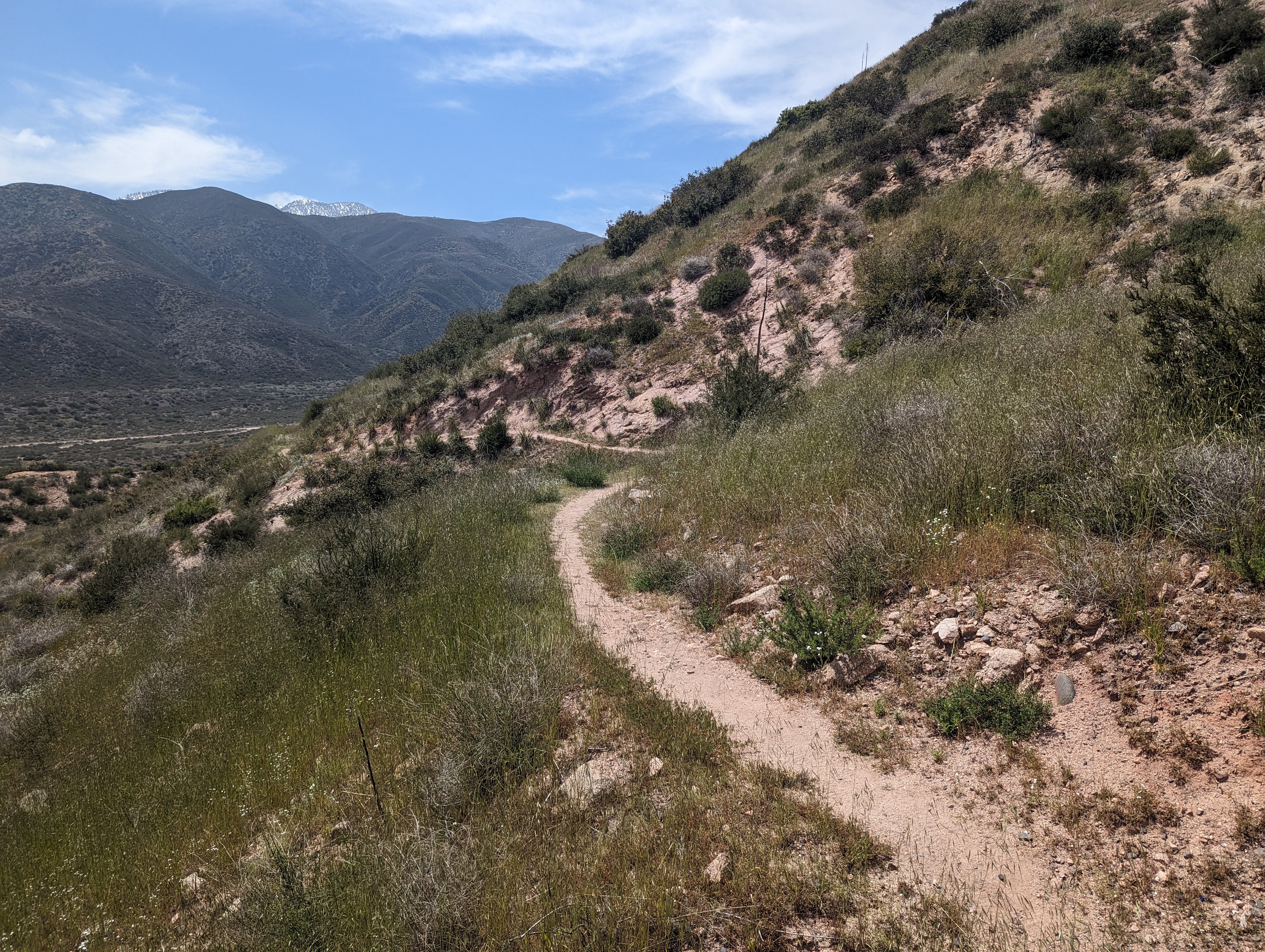
Our hike was only 5.5 miles so 3 miles seemed like a good place to take a break and enjoy the view on top of a hill. I had packed some hard salami, asiago cheese with crackers and she packed some dehydrated bananas that were all out of this world. After a short break we pressed forward putting the views of all the cool rock formations behind us and walking along the crest of the mountain with great views of the valley to our left.
My navigation skills were on trac and my Garmin GPS watch was dead what we expected for the days millage. We could see a dirt road down below and followed it until there was a clearing of the mountain to our right and we had a clear view of our 2nd car. It's always exciting when you can see the end and it's closer than you think!
We came upon two last lone hikers taking a rest. They were obviously thru hikers so we stopped and chatted for a few minutes. Each of them were going opposite directions and must have just met on the trail as well. We learned that because of the snow they've been skipping around to different sections so they can hike where it's free of danger of steep icy slopes. One hiker's name was Nick, he said he had traveled back 3 times to San Jacinto and was turned around all three times as well as was delayed for 3 days in Idlewild during the last winter storm. He asked us if we had seen an old guy ahead, but we told him no. Later at McDonalds we would run into the "old" guy and realized he was the guy that we saw right after our snake encounter.
It was impossible to miss our turn off to Swarthout Canyon Road and minutes later we were back at our car. What a great day and so good to be back on the PCT. Next stop was the infamous McDonalds a few miles away where we ran into at least a half a dozen thru hikers sharing stories with one another and savoring the greasy fast food. I came to a new realization with my PCT journey is that we don't have to do every segment in order nor does the direction we do really make any difference, the important thing is just to keep doing it as each segment is a new adventure to cherish. The quick drive, only 45 minutes, home made for the shortest start to finish PCT section we have ever done!


No comments:
Post a Comment