|
December 20, 2020
|
Montezuma Valley Road to Warner Springs
|
|
Mile 101.2-109.5
|
2:53 (moving) / 4:08 (total)
|
|
|
Max 3,270 feet (+1,200 / -1,600)
|
See Day 7a Section on YouTube
Pacific Crest Trail – Day 7 – Part 1
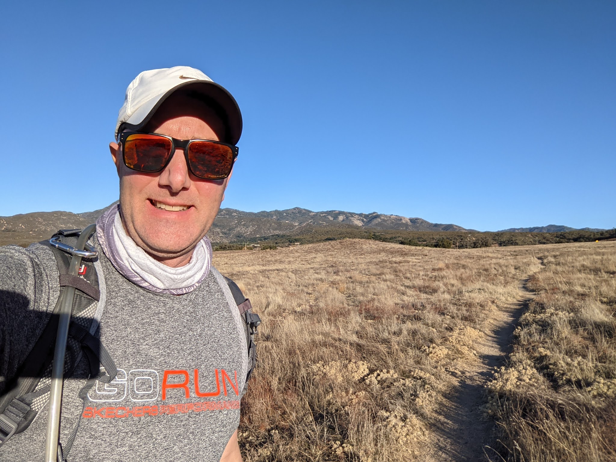
The plan was to try to make it 100 miles on the PCT by Christmas or year end so December 5-6th two day backpack which made it to 101.2 miles satisfied our goal tho the weather was perfect so two weeks later we would return for one more hike. All the previous days were quite challenging and at last the final Leg of Section 1 only was 8.3 miles so compared to all the previous days this would be a walk in the park. Relatively shorter miles than we are used to, very little elevation, and perfect weather.
The only thing that could make the day better would be to have friends join us for the last segment. My friend Brian inquires all the time about my hikes and my progress. On Friday we spoke and I think I finally wet his appetite for a last minute plan for him to come along this Sunday. The last leg takes us into Warner Springs and boasts a pretty popular rock formation called Eagle Rock. Many day hikers park in Warner Springs and hike 3 miles to the rocks and then 3 miles back for about a 6 mile hike. As for us our logistics is always complicated but having an extra car would make the days plans super easy and Mai and I could ride together and my friend Brian would be able to help us with the point to point hike shuttle of vehicles.
Saturday morning he confirms he’s coming and has invited two companions along with him. We have been used to having pretty much the entire PCT to ourselves so this would be a new experience hiking in a group of five. As we get further away from Mexico and closer to home the drive is a little different and it looks as if Temecula would be the closest place to find a place to stay Saturday night and allow us to get within 45 minutes of the trailhead in the morning. They would meet us and spend the night at the same hotel. Still in the middle of Covid dinning out is not the usual. On the way we tried to stop at a couple places and even for carryout it looked like the wait could be over an hour so the fallback plan was another stop at Chipotle and eat in the car.
My Sunday routines for the past few years included a stop by my gym about dinner time and a trip to the hot tub. Since Covid my gym had been closed so my favorite mechanisms for recovery of soaking in the hot tub has been taken away. I was so excited to find the hotel we booked had a small pool and better yet a hot tub that was in operation. I texted Mai and reminder her to pack a swim suite in the event it’s operational. Sure enough, within five minutes of checking in we realized we only had about 30 minutes before the pool area was closed so we headed out jump in. The pool was pretty cold so we went straight for the hot tub and it never felt so good.
Every previous hike required a very early alarm so now that we only had 8.3 miles to hike there was no rush to head out the door so we didn’t plan to be on the road until 9 a.m. so it was nice to not rush out the door at sunrise like we have been accustomed to each morning of our first 6 days on the PCT. Last hike we drove out of Warner Springs on I-79 so we were familiar with the road into town. It was pretty easy to find the exit trailhead by the fire station in Warner Springs where we parked my car then jumped into Brian’s car and headed on further towards Montezuma Road where we had finished our hike last time. We met Brian’s two friends and shared some pleasantries on the way to park his car. We looked like real pro’s knowing exactly how to get to the start of the hike.
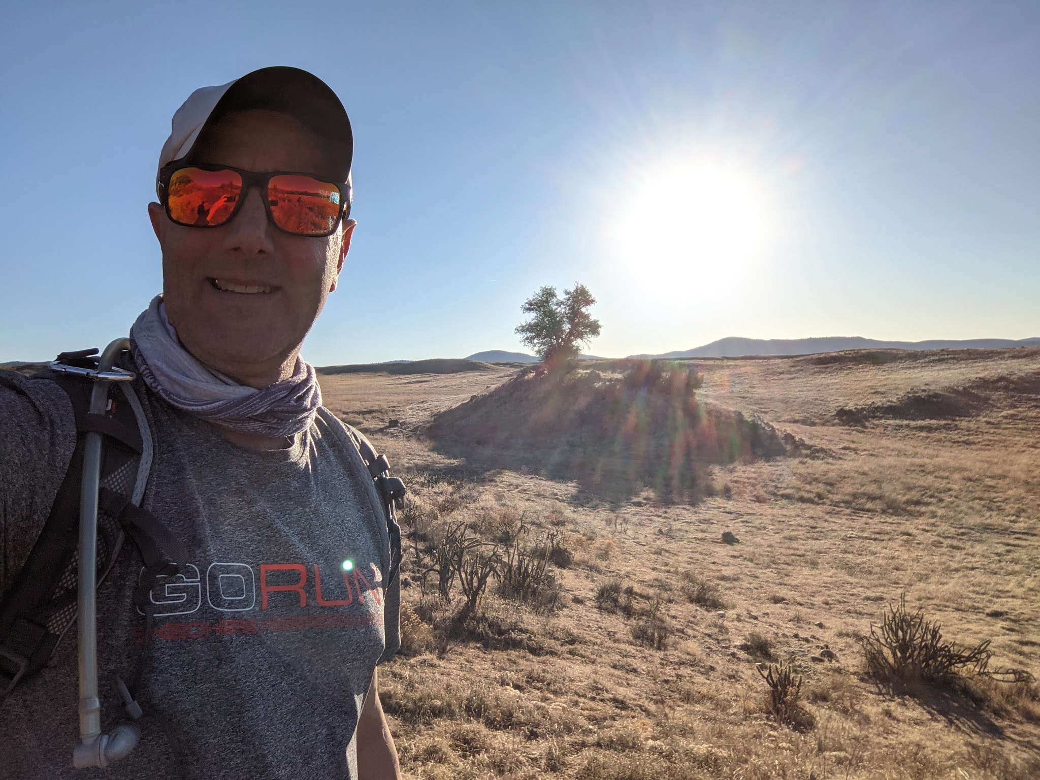
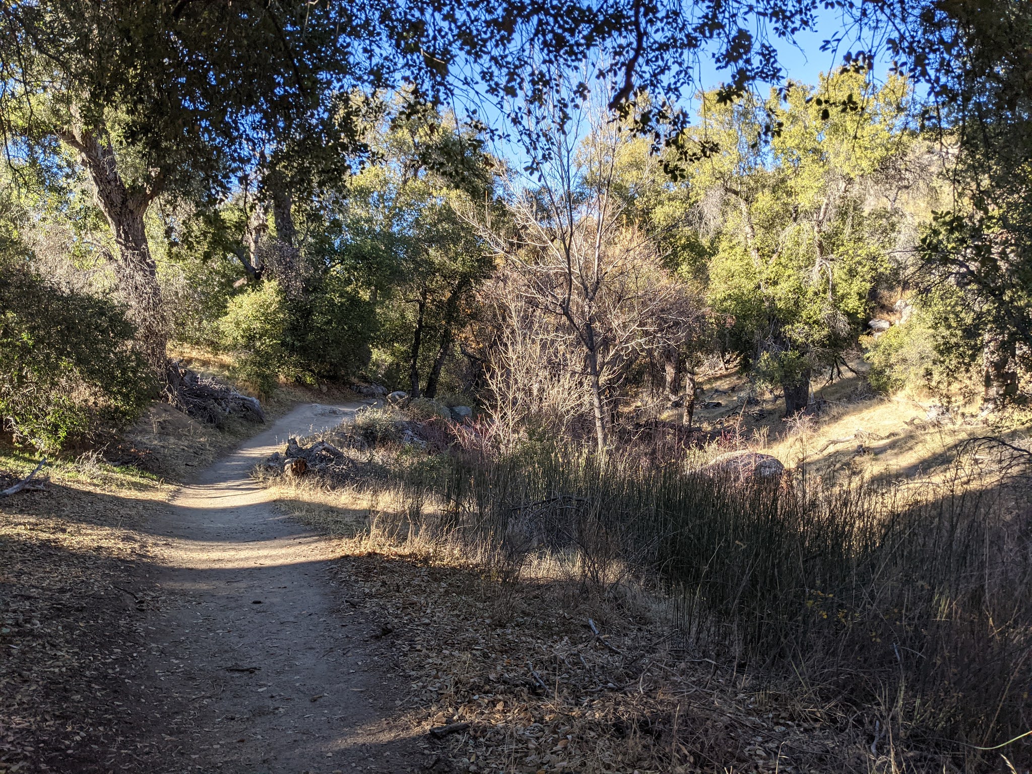
Like each hike before, we haven’t done it before so we are always a bit surprised with what we see along the way. After looking at the map and reading the trail guide it seemed like a hike mostly thru a valley so I didn’t expect the section to be as scenic as all our previous hikes, however, it did not disappoint. Even without a big elevation gain/loss the trail continually changed around every corner offering great scenery the whole day. I think many people would do this section in the spring when there has been rain and the landscape is green and filled with flowers. Not for us, it was still dry as a bone.
About a mile into the trail a couple women on horses caught up to us and past us. The trail was very easy to follow and really never a place to get lost. Even in the expansive meadows there were sign posts highlighting the way. We also could see the horses out in front of us but they outpaced us and were soon out of sight. The trail was easier than what we were used to so the miles went fast. We figured about 5 miles we should run into eagle rocks and could see off in the distance a big group of people already there. We had planned on having lunch at eagle rock but because so many people were there so we found another set of rocks less than a quarter of a mile away so we decided to head to them and sit down for lunch there and have the whole area just to ourselves. It was fun to share each other’s lunches as everyone brought something just a little different.
We could see eagle rock from our lunch spot and could see people coming and going. Everyone had hiked to eagle rock from Warner Springs, we were the only hikers that came from the opposite direction on the PCT. When we finished lunch we took some photos on the rocks where we had our lunch and then bushwacked across directly to eagle rock which save a few steps. The last group just finished their pics and started heading back so we mostly had eagle rock to ourselves however already early afternoon and a stream of hikers were still approaching from the Warner Springs direction. We got a few pics including climbing up on top of the eagle’s head. After everyone got a couple rounds of photos we followed the trail the same direction everyone else was coming from.
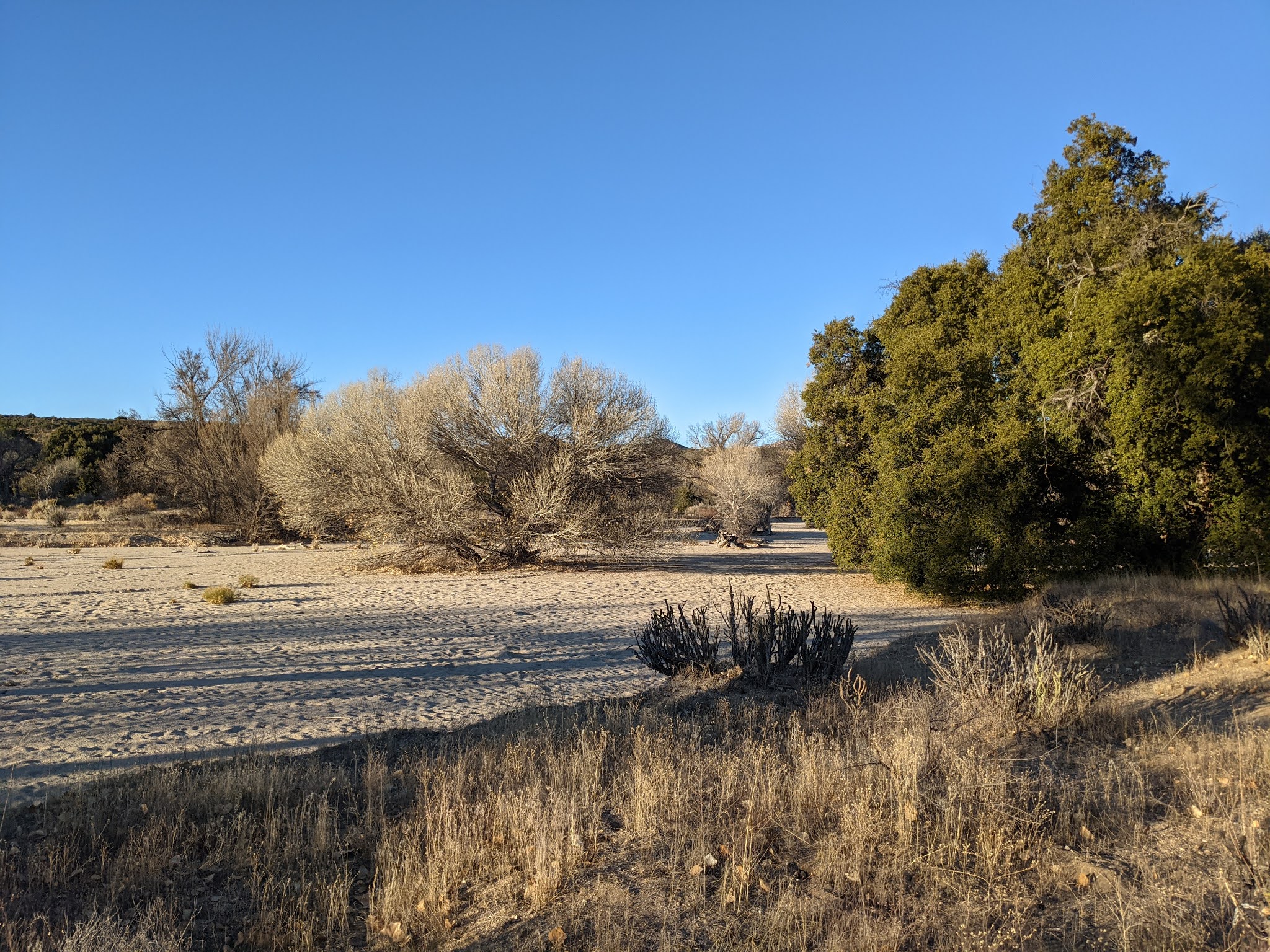
The 3 mile back to Warner Springs was mostly uneventful. We started out in some open meadows and then ended up following a dried river where there were more trees. Brian’s friends could be found taking selfies and cute pictures a along the hike. It would have been a great day to bring Juno for the first time as we were mostly out of the cactus and because of the shorter distance we would have been able to carry enough water for him as well.
Before we knew it we had made it into Warner Springs and intersected with I-79. The end of the trail would be for Brian and his friends but Mai and I were to carry on and knock off two more miles. Brian and I rode in my car to retrieve his at the start of the trail and we left the girls at the fire station. We returned and Brian helped me drop my car a couple miles further down the road, which was perfect because Mai and I could add on an extra 2 miles to our short day which would save us 2 miles off of Section 2’s Leg 1. I’ve finished the day’s recap in a separate blog that highlight these last two miles.