|
January 17, 2021
|
Warner Springs to Chihuahua Valley Road
|
|
Mile 111.5-127.3
|
6:06 (moving) / 8:12 (total)
|
|
|
Max 5,186 feet (+3,523 / -1,522)
|


Pacific Crest Trail – Day 8
Section 2 more or less begins in Warner Springs. The PCT intersects with Hwy-79 twice, once more in town next to the fire station and a second time on the outskirts of town near the Glider Airport. The last leg of Section 1 was merely 8.3 miles, so when we finished that hike we decided to tack on 2 more miles so got our first taste of Section 2 as a combined hike with the last leg of Section 1. We choose to do this because the first leg of Section 2 would have been 17.8 miles so we were able to cut it down to only 15.8 miles.
We finished Section 1 December 20th, 2020 and planned to pick up on January 17th which meant three whole weekends away from the PCT including Christmas & New Years. When the 4th weekend rolled around we were eager to get 2021 started!
The end of 2020 I joined a Facebook group called “SoCal Hikers” and have seen pictures from all kinds of great hikes across the southland. I happened to catch another hiker that posted on Jan 4th that he also just completed Section 1 and hiked the 8.3 mile stretch from Barrel Spring to Warner Springs that I had just completed about two weeks prior. I decided I would reach out to this hiker and let him know we are on the same exact location. I noticed he posted not only photos from his hike but also a really cool YouTube video of his hike. He seemed interesting and finally a week later decided to send him a message. It ends up we exchanged phoned numbers and talked on January 10th. Long story short we planned to meet up to tackle Day 8 together.
We knew where to park our car to begin the hike but the end of this this hike brought us to new unchartered territory off a road called Chihuahua Valley Road. As we would later learn it’s also referred to as Lost Valley Road. The plan was to meet our new friend toward the end of this six mile dirt road at the trailhead where there are a few parking spots. He would be traveling from Chula Vista which was two hours away and we would stay in Temecula again for the second time so we would only have about 1 hour drive. We received a text that he was on the road so we knew he would be there on time. We got a couple minute late start hitting the road and the distance was a little longer than I had expected so he would arrive about 20-30 minutes ahead of us.
Chihuahua Valley Road was easy to find off of I-79. I think I saw a sign that it was a dead end road so we thought we would just follow it all the way to the trailhead. Chihuahua Valley Road takes a hard right turn to stay on the paved road which is easy to do but where the sharp turn is you are supposed to continue straight and this is where the name of the road changes to Lost Valley Road. I hadn’t done much research into the road condition and luckily for the most part the road was accessible to all cars and we didn’t need to have 4x4 or high clearance, however, a few spots in the road we had to dodge potholes and avoid some bigger rocks that were scattered about. Google maps luckily worked and took us right to the trailhead where our new hiking friend awaited us.
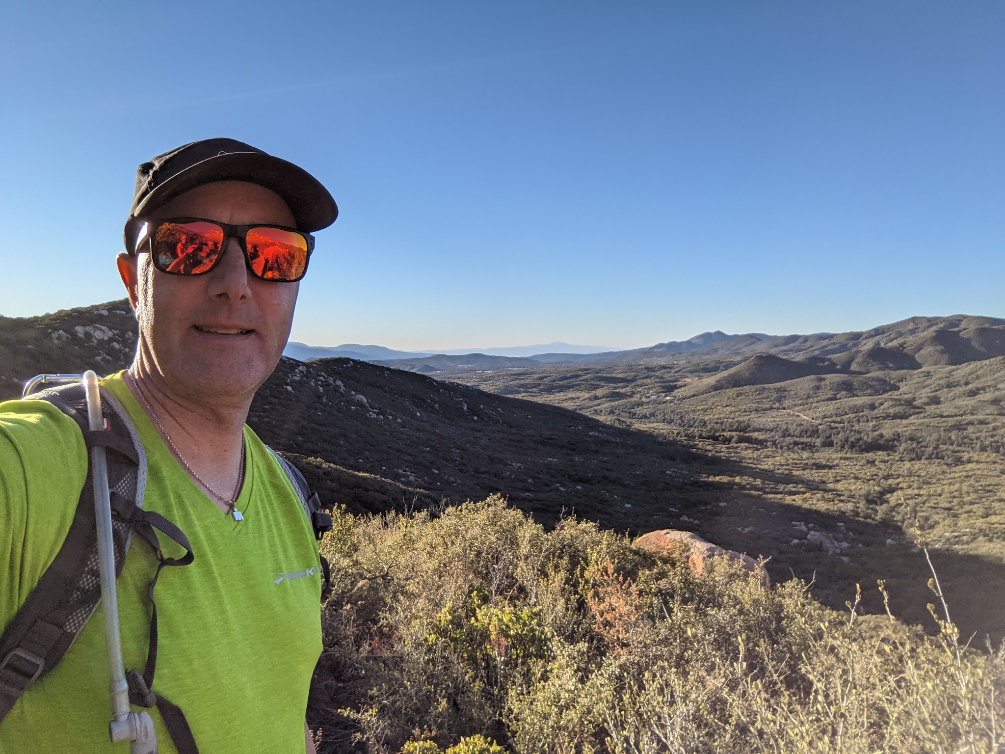
We had a quick meet and great and decided to leave his car and jumped into my car and headed back toward our starting trailhead. Heading back the way we came back to Hwy-79 our drive was a little over 20 miles away. I didn’t expect to see any cars on the dirt road but we passed a Subaru Outback loaded with what appeared to be hikers also presumably heading to the same trailhead we just left our 2nd vehicle. Our last hike into Warner Springs we continued another 2 miles which would save us some time/distance for today’s hike. I remember exactly the spot where the trail goes under the road (under a bridge). There were a lot of cars parked already on the west side of the bridge, but there was a smaller parking area to the east side of the bridge we had all to ourselves. We took a group selfie and headed under the bridge and turned right.
Our first 101.2 miles we had seen very few hikers. It was always something to talk about by guessing how many people we would see (or not see) for the days’s hike. Our last hike to Eagle Rock a couple miles on the other side of Warner Springs was a popular section of the trail, but heading north of Warner Springs I expected it to be pretty desolate. Contrary to my hunch of not seeing anyone there were two guys under the bridge and wondered if we had seen any Turkeys. Humm, not quite sure what to make of that! Come to think about it we did see turkeys in both around Mt. Laguna and Lake Moreno on previous trips.
After walking under the bridge the trail immediately crossed the dry creek bed towards trail markers and exited into the woods on the west side of the creek bed and from here on out was pretty obvious we were going the right way. Our hike would be a long day and it would be about 16 miles and take us over eight hours. There was a millage sign at the very beginning of the trail suggesting only 14 miles to the car, but I’m pretty sure it was a full 16 miles. For a January morning it was surprisingly felt like summer and within minutes we were ready to shed any extra layers and jackets we had brought along.
Last fall we had hike over 100 miles and only seen two little creeks with just a trickle of water but today we would be blessed with 6 stream crossings in the first 5 miles before the trail started to make it’s climb away from the creek bed. It was a joy to hear the water alongside the trail and each of us took turns finding the most optimum rocks to shuttle across to the opposite side. While still along the water several miles into the hike we ran across a couple that had found a little spot along the water and had laid out a blanket for a picnic. Wow, that was already 4 people on a trail I had hardly expected to see anyone.
As we continued to climb the views kept getting better and better. Before long we passed a group of 5 backpackers, 3 adults and young boys. Maybe they camped last night but no one stopped to chit chat. Before long a steady uphill was beginning to take it’s toll on us and on the climb we decided it was a good place for our first break. Just as we were ready to start moving again another group of hikers came by. I was really surprised to see everyone heading southbound and it appeared we were the only northbound hikers. This group was mixed group of twenty something olds, again no one was chatty.
I don’t know if we’ve run across a true “thru hiker” until today. We passed a younger guy with a green felt German hat. He smelled like he had been on the trail for weeks/months and I was surprised that his pack looked relatively small/light for the miles he must have traveled. A short time later we ran into another guy, this time with a red felt German hat. This was our first hiker we passed that actually stopped for a minute to talk with us. He was a jolly older guy and smelled equally as bad as his younger friend we had just passed 5-10 minutes prior.
Approaching mile 7 of the hike we could see a road that wasn’t far off below the trail down to the left. We didn’t study the map that closely to know where it connected but we did see a handful of vehicles traveling on it. Also off in the distance we could see Mount Palomar but from the angle we couldn’t see the observatory however we make out Lake Henshaw pretty clearly at the base of Palomar.
Probably about mile 8 we passed a group of girls hiking. Again, not many hikers were very chatty, but I recognized them from the drive and they were the ones in the Subaru heading to park where we had dropped of a car in the morning and done the exact same hike as us just southbound instead of northbound like us. The gave us a warning we would have to pass “on our hands and knees” but we really never figured out the exact reason for this warning. This would it for other hikers the rest of the day we had the remaining 8 miles of trail all to ourselves.
Since our early water crossings in the first 5 miles the rest of the hike seemed pretty dry. There is a clearly marked sign at mile 118.6 to Lost Valley Spring which looked like you had to hike down a ravine a little ways down to access. We packed enough water from the start for all 16 miles and water supplies were still strong so we pressed on.
We had a pretty steady climb the first 10 miles of the day and took several breaks and even a few short breathers, but eventually we reached a plateau and the last 6 miles of the hike there wasn’t a big change in elevation. About the mile 13-14 we entered the land of the dinosaur eggs. No they weren’t eggs, there were just 1000’s of boulders every where you looked.
Finally about the last mile we spotted Lost Valley Road in the horizon so we knew we were getting close. We had a beautiful vista of the whole valley below and then made our way to our car. The final attraction before the car was a turn off to “Mike’s Place”. We were running out of day light so we decided not to stop and use any more valuable daylight to check it out. So excited to be back to the car and break open some special treats that Mai packed for the end of the hike. Once the sun started going down the last mile or so started to cool down so I put on my original layers I started with in the morning plus had a warm hoodie in the car.
On the way out we took it slowly through the dirt section and tried to rest before arriving back at my car at the beginning of the trail. We made one stop along the way as a guy had some giant Buddha statues in his front yard. Our day was done when we arrive back at my car, however, our new friend missed out on the two mile stretch we did the previous trip to Warner Springs so we shuttled him to the other side of Warner Springs and dropped him off in the dark and he would walk the flat 2 mile section between I-79’s on his own.
We would reminisce all the way home of our latest adventure and everything we enjoyed about the day. We are also starting to get to know Temecula as we’ve passed thru down several times so once again Mai picked out our dinner spot which took us to our little whole in the wall Pho noodle restaurant. Good times!
Mother nature didn’t throw any surprises at us for this trip, it was a super pleasurable day on the PCT and couldn’t ask for a better January day for a hike. The weather will soon change and we are so glad we were able to take advantage of the warm weather and sunshine. Returning home the same night my phone had already started showing warnings of a super windy three days so fortunately we escaped this upcoming storm as we would later learn the wind played havoc from Yosemite all the way down to San Diego.


Great hike! Weather was perfect, thank you for sharing snacks!
ReplyDeleteThat section eith big rocks did look like dinosaur eggs! Another memorable moment was all the snow and ice in the shady spots. I really liked the sound of the water, and remember those big pine trees that dplit at the top? We also saw the Scrub/Mexican jay and Stellars jay and a couple ground squirrels I think.
ReplyDelete