36th High Point Visited
23th Highest State Highpoint
17th Most Difficult
summitpost.org
wikipedia.org

 |
| Black Mesa (4,973), Oklahoma - State Highpoint #36 |
We made our first top at Mt. Kansas at 8:30 a.m. and continued our road trip onward to Oklahoma. The road between Kansas and Oklahoma's high point is mostly a drive thru another long stretch of eastern Colorado. The drive was 3.5 hours which would get us to the trailhead about 1:15 in the afternoon. We checked the weather before leaving California and knew there was a heat wave hitting this area and unfortunately an early afternoon hike would put us in the dead heat of the day for our 8.5 mile hike.

 |
| Apple maps was a big help. Does this map qualify as "on" or "off" the grid? |

The signs were actually easy to follow to the trailhead and lead us right to where we would begin our hike. We watched the temperatures slowing climbing all morning and I'm pretty sure it was already mid 90's by the time we were ready to begin our hike. Unlike Nebraska and Kansas which were drive-up's we were going to have to work a little harder to complete Oklahoma. We had a round trip of 8.5 miles with about 1,000 feet of climbing ahead of us. Arriving at the trailhead there were two cars so at least we weren't the only crazy ones out here!
There were a few warning signs at the trailhead. The clearest sign warns of frequent summer rescues because of the heat. The other sign was smaller but suggested with a small note "On the Days Temperatures will be over 90 Degrees the High Point trail closes at 10 a.m." Yikes. We were in good shape, well hydrated, packed plenty of extra Gatorade and water so couldn't be any more well prepared.
The trail was well marked and easy to follow. Only 4.2 miles from the trailhead to the highpoint. I saw a few pictures from recent 50 state high pointers that had been there so knew what to expect at the monument. The trail was rightfully named "Black Mesa". I've probably seen may "Mesa's" before in all my travels across the southwest but not until today did I really learn what a Mesa was. It's a high flat topped land form with steep sides. We started out at the bottom of the Mesa so much of the 1,000 feet climb would be the switchbacks heading up the steep side of the Mesa. Once on top it was pretty much a flat hike to the very highest elevation of the Mesa. The "black" is simple because of the once volcanic black rock throughout the area.
I wasn't expecting desert conditions in Oklahoma, but it was hot and lots of cactus. We even spotted a really pretty green lizard. A few weeks later I see that someone else spotted a desert tortoise along the hike. I think the park realized that hikers after traveling from so far away would end up at the trailhead in the heat of the day and had built benches with sunshades as well as had cache with extra water for those less prepared. About 1.5 miles into the hike we passed the group of hikers that were coming off the summit. The said it was "hot" but seemed all in good spirits as they were almost back to their vehicles. From this point on we didn't expect to see another soul on the trail.
Parisa was both excited to get off of the car and move her body at the same time she complained "it's hot dad". The hike started out beautiful and just kept getting more beautiful. There were "Mesa's" surrounding us on all sides so it was hard to figure out which one the trail would ascend. The trail made a turn to the left and we could for the first time make out what looked like it was the trail that would take us to the top. Parisa began to slow down when the trail got steeper and we stopped for short rest brakes. Each step up the Mesa we were awarded better and better views of the valley below. At last we were on the top of the Mesa and still the trail was clearly visible as it disappeared into the desolate wilderness upon the top of the Mesa.
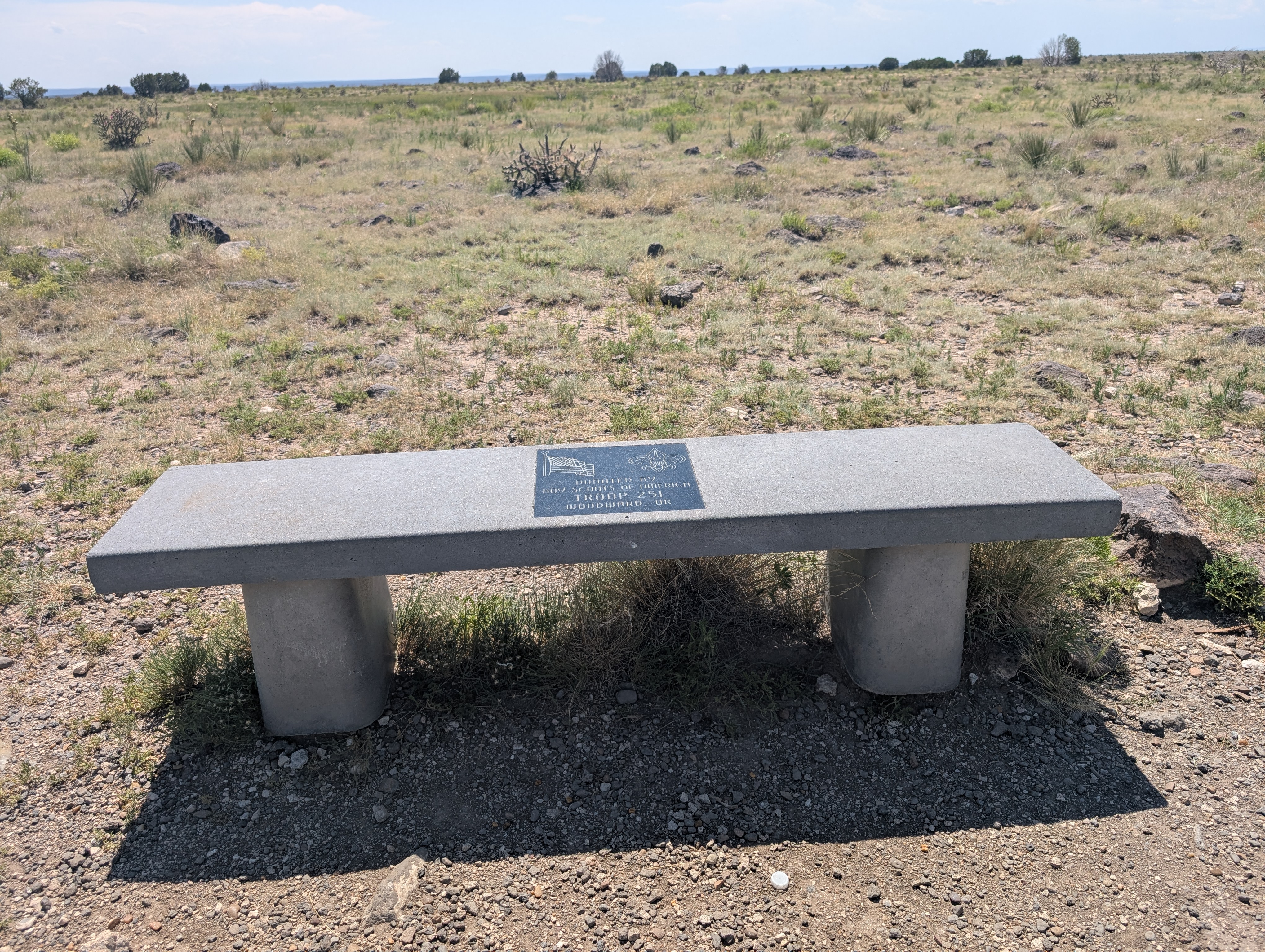
It was about 3 miles from the trailhead to the top of the edge of the Mesa which left only about 1mile to go. It was breezy on top of the Mesa which made it feel a little less hot. We meandered our way to the monument which is blocked by a few trees so you don't really see it until you get really close. Once at the monument we had it all to ourselves. Parisa opened up a metal box that had our 2nd register of the day and signed in. We high fived that we made it and snapped a few pictures at the monument and took in some more fluids and a snack before turning around and heading back the way we came. It was downhill all the way back to the car so the rest of the hike was a piece of cake. We passed one solo female hiker about the same place on the trail where we passed the group of hikers coming off the top when we were on our way up.
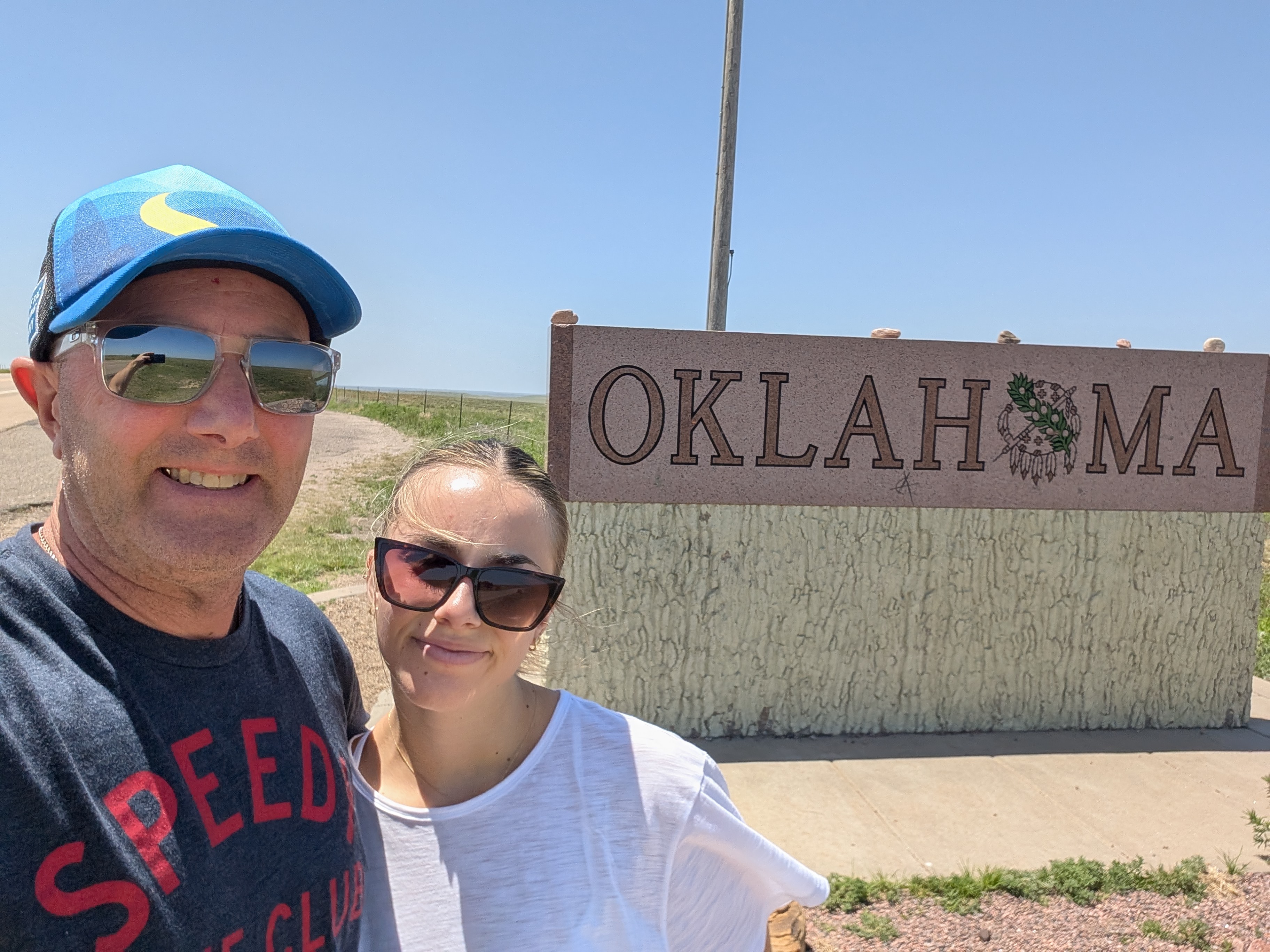
I think my fifty something old body is in better shape that Parisa's twenty year old body and she was soon conked out for the rest of the afternoon and evening drive back to Colorado. It's hard to believe looking at the map after flying into Denver that we were nearly all the way down to the northern most part of Texas. A few more miles or a wrong turn and we could have easily added to our states traveled this week. As flat has eastern Colorado had been there were lots of hills and much improved scenery once we entered Oklahoma as well as the north part of New Mexico.
Visting all 3 of the highpoints we had planned for this trip was complete. I was already having fun but for Parisa she was looking forward to seeing the Rocky Mountains in the summertime for her first time. Our next destination was Colorado's Great Sand Dunes the next morning. It was nearly the same distance to drive back north to Colorado as what it was to drive a little further south into New Mexico and angle our way back on Hwy 87 towards Alamosa, Colorado where we would spend the night before heading to the National Park. The drive was another 4 hours which made about 9 hours of driving for the day.


No comments:
Post a Comment