
See Day 16 Section on YouTube (coming soon)
 |
| Morning at Whitewater Preserve |
Thursday night we loaded up our packs and got ready for an early morning departure to meet Oobrianoo at Whitewater Preserve. We made it to the meeting place first and were able to open the gates and enter the parking area. I think it was the first time we actually beat Oobrianoo to a meeting place but we didn't give him a hard time because he picked up some McDonald's breakfast sandwiches for us. We loaded all of our gear into the back of his Prius and started the drive up to our trailhead. Traffic wasn't bad and we made the trip in about 1.5 hours.
 |
| Intersection of PCT and dirt road where we dropped off backpacks |
We stopped 2 miles before Onyx Summit and drove down a dirt trail and easily found the intersection of the PCT and dropped off our two backpacks then continued to the parking area at Onyx Summit. There wasn't really any snow alongside the road where we were beginning our hike so I made the decision to leave our spikes in the car and lower our pack weight. We took a ceremonial photo along the road at the sign, dropped off a gallon of water along the trail for thru hikers that might be low on water and began our hike starting at 10:18 a.m. A little later start than I would have liked but we were off and the first two miles we enjoyed the sunshine and upper 50 degree weather.
 |
| Onyx Summit |
Starting out Friday morning while we had heavy packs and were going to move slowly, we thought we would have plenty of daylight to make it 12 miles to our first camp before sunset. We started out and mostly the first two miles were downhill and we had no packs so we actually made pretty good progress, however, the 8,500 feet elevation was immediately apparent as we all just came from near sea level so we all were feeling a bit of a headache as our bodies were trying to adjust to the elevation. Our first mountain view with snow was Big Bear off in the distance behind us.


Since we had last minute (only a few days before our hike) changed the hike from Northbound to Southbound we had less time to study the terrain. The reversed direction would give us only about 4,000 feet of climbing, but 1,600 of that would be on our first day at elevation and also at the highest part of the hike so we were all sucking a little wind trying to acclimate. We started at 8,500 feet and went down then back up to a high of 8,755 feet. We descended once more and again climbed back up to 8,500 feet. Of course the highest elevations are where we had the most snow.


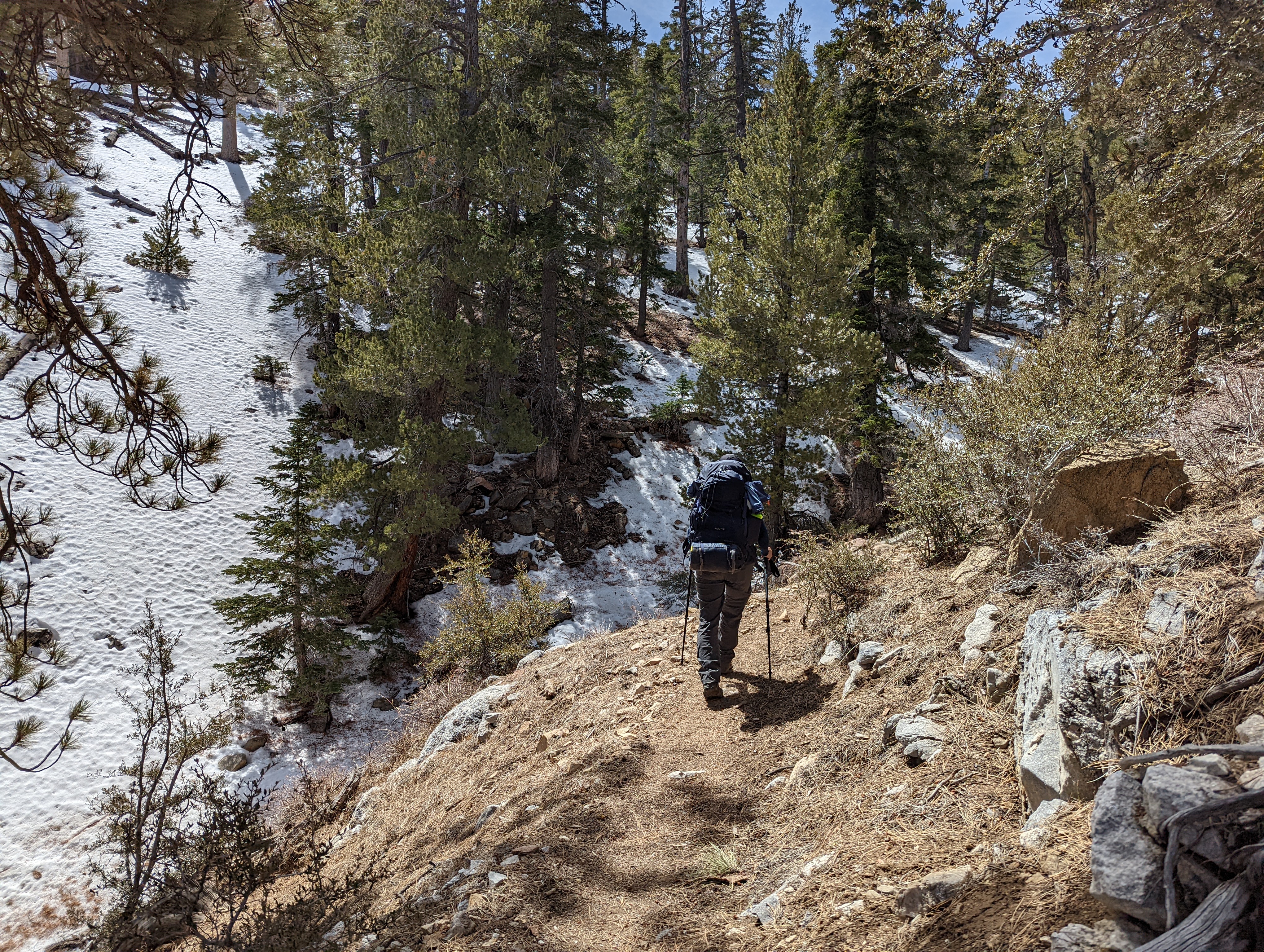


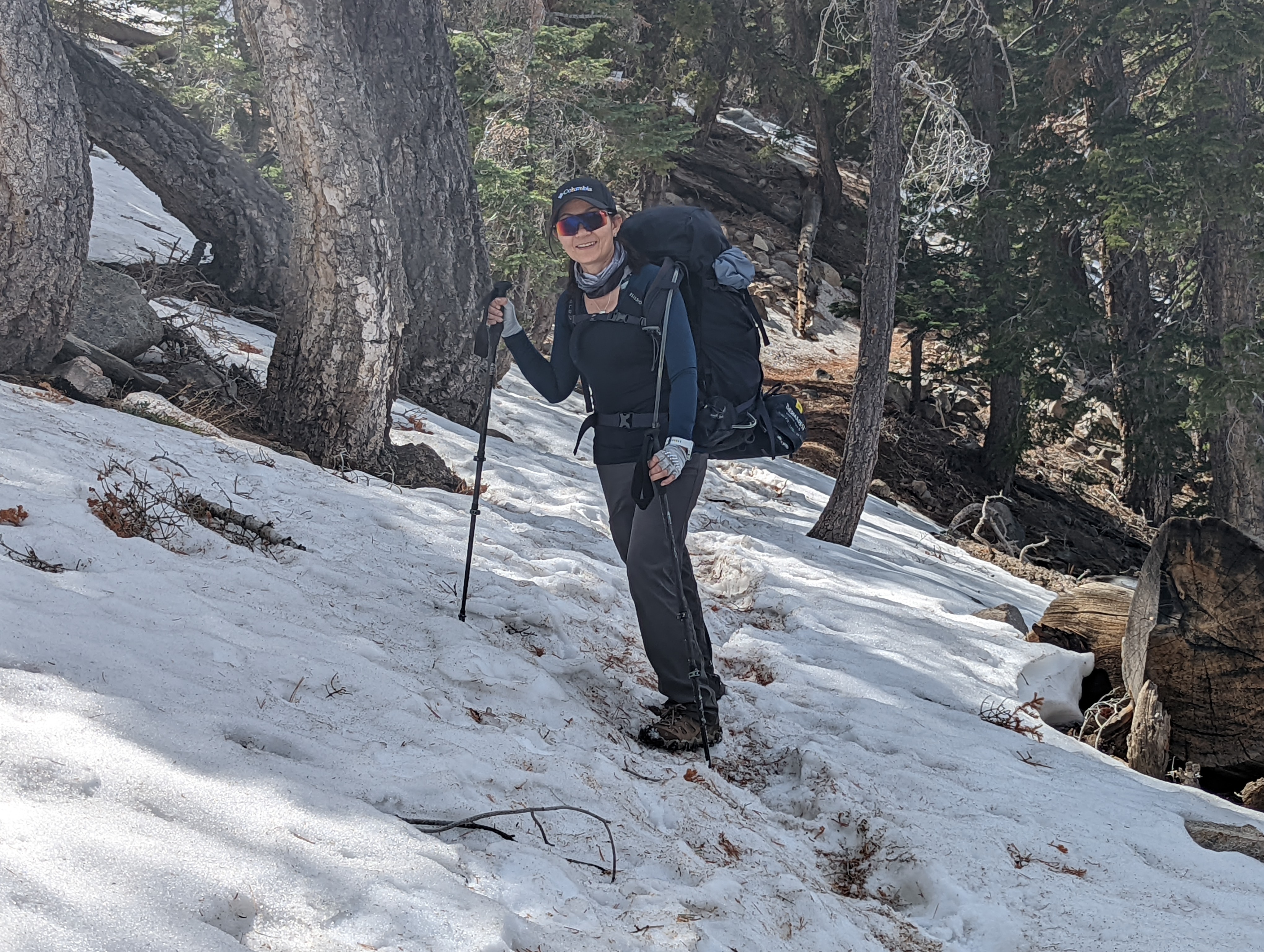
 For the most part we were on south slopes so the trail was mostly free of snow, however, eventually we came onto a north facing slope and ran into a little more snow. Oobrianoo was the only one of us that decided to carry along his spikes, however, the snow was soft enough I didn't have much fear of losing footing. We came onto a section, perhaps shy of 1 mile where we had to "post hole" which basically every step we took we sunk to our knees so this whole section was the slowest and we made the slowest progress.


 |
| San Jacino in the background |


 Once we got below snowline it was mostly all a gentle downhill all the way to our first night camp. We went thru a big burnout section and made it to camp right at sunset. We ended up putting the tent up in the remaining daylight and then had to seek out a water source near camp. We wish we would have done that before setting up the tent. Pretty exhausted we cooked a quick dinner and as it was staring to get cold after sundown found our way into our sleeping bags for the night.


 |
| Excellent View of San Gorgonio |


The McDonalds hit the spot, eh? I'm so glad the animals didn't get into your backpacks, but I think that would have only happened if they were left overnight. What did you do with the bear cannister overnight? Did you leave it somewhere away from the tent?
ReplyDelete