|
March 28, 2021
|
Higway 74 to Cedar Springs Trail
|
|
Mile 151.9-162.6
|
4:28 (moving) / 7:04 (total)
|
|
|
Max 6,850 feet (+2,840 / -980)
|
See Day 11 Section on YouTube
Pacific Crest Trail – Day 11
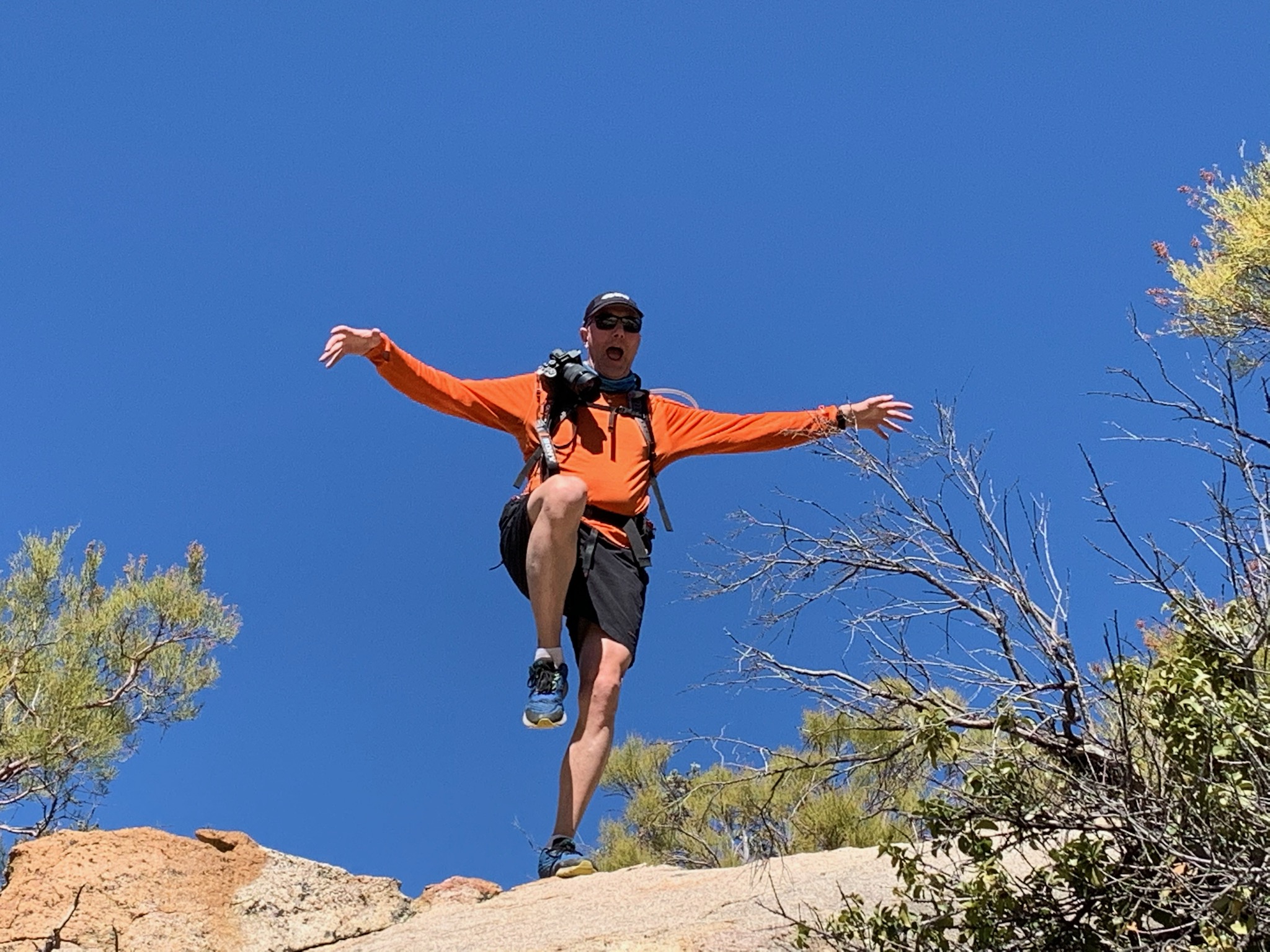
Whoa, 11th day of this crazy adventure already! So today is a bit more exciting because I would classify mile 151.9 is the gateway into the San Jacinto Mountain wilderness. Not that we haven’t been hiking thru mountains all along, but with Mt. San Jacinto standing at 10,834 ft we are finally leaving the “desert” and essentially entering what I would consider the first area of “real” mountains.
Additionally, when I first rode motorcycle up Route 74 from Hemet to Palm Springs it was my first real inspiration to figure out what mountains were off to my left hand side all the way and start planning a way to explore the trails within. Originally I was thinking about backpacking a few days but somehow in metamorphosed into hiking the PCT starting from the border of Mexico. Needless to say, but I’ll say it anyways, this area is what I’ve been waiting for since my start seven months ago.
While driving to trailheads a couple times added some extra drive time to the logistics of hiking, starting in this section is the first section where the road at one end of the trail is 2.5 miles on a side trail to the PCT, so the 10.7 mile hike would end up 13.2 mile hike. There were two signs that indicated that the PCT section is actually 12 miles but the guide says 10.7 and my GPS said 11.8 so who really knows? One thing for certain with a steady climb from about 5,000 feet to nearly 6,900 feet it meant the long day would be mostly an uphill challenge the entire day. The one exception, then the side trail, Cedar Spring Trail, at the end is completely a decent down to the car. (and after hiking we are quite certain it won’t be a pleasant way to start our next segment!)
Our new trusty hiking companion OoBrianoo came through again and was a big help. First it’s always great to have two vehicles but not only that he is really good at looking at the maps and guides to figure out the best places to park and how early we need to start. At first I didn’t know about the extra 2.5 miles we had to tack onto the end so I was thinking about a 10:30 start but he is a morning person and for good reason suggested 9:00 was a much better time. Two weeks in introduced us to one of his friends and this week he would introduce us to another one of his friends. Additionally Juno and a 2nd dog Max the Beagle would also join us. I knew it was going to be a long day for everyone and especially the dogs even before I learned about the extra 2.5 miles. The spring snow tho would provide some water and patches of snow for the dogs to eat/drink.
The meeting point last time was the Paradise Valley Café, but this time it would be four miles past the turn off to the ending trailhead so we agreed to meet there. It’s a several mile drive down Morris Ranch Road to the trailhead on the right. We arrived exactly at 9:00 am and OoBrianoo and his friend were already waiting for us. This time we would leave my car and shuttle to the start in his vehicle. It was an easy drive to where we left off this time we pulled into the parking area which was almost completely full. We would have a couple of spring water sources along the way but we all chose to carry all the fluids we would need for the day. I carried 3 liters plus 32 oz Gatorade and 12 oz Mountain Dew.
I had been so busy since the first of the year I’d not spent much time doing research onto the trail and partly leaned on OoBrianoo’s knowledge of what he had read. This time before reading the section we had already figured out parking, but after reading my guide I had a better idea what we would run across on the trail. The trail would start out a little sandy and in some thick trees and slowly meander into a section of boulders we could see off in the distance. The dogs had free run of the trail and as we broke up into two groups the dogs seemed to double their millage by running back and forth between us. Later they would tire out and this nonsense would end!
Every step we gained altitude all day long and with each foot gained in altitude the scenic panoramic view simply kept getting better and better. The PCT never disappointed all day long. As usual every new corner we turned the scenery kept changing. With each saddle we reached there was always a new view that rivaled the view we had just had on the way there. Off to the right I was surprised we could still see the Salton Sea which I thought we had passed further south. We also had great views of Indio and the Coachella Valley and finally even the Palm Desert and Palm Springs. When we reached the saddle we also had beautiful vista off to the left and could look down on Lake Hemet as well as two smaller lakes at the base of Morris Creek. It was clear and sunny day and temperatures rose into the 80’s.
I read that in March there were 50 thru hiker permits issued a day and they were all sold out, so we were expecting to see some thru hikers on our days trek. We played our usual guessing game and based on all the cars in the parking lot I had hoped to see 8, Mai said 5, and OoBrianoo I think said none. Well just before lunch about mile 5 we ran into our first solo hiker heading southbound. Mai and I were way ahead of OoBrianoo so we got to corner her and ask her if she had seen any Turkeys. She didn’t know what we were talking about, but said she passed 2 hikers and 1 thru hiker taking a break. Soon enough the other half our team caught up with us when Mai and I had stopped for lunch. I joked that OoBrianoo would also ask her about Turkeys and that the first thing he would say to us is that the girl we passed would say “another group of hikers I just passed asked me the same thing”. Of course that’s the first thing he said to us and we both started laughing.
We had a nice break under a big tree in the shade next to the trail and continued onward. We soon passed the other two hikers the first girl probably talked about, but we would never actually see the thru hiker, however, we may have spotted his backpack next to the trail as he probably ascended to a water source 1 mile off the trail at Cedar Springs. So that would make only 3 people spotting’s for the long day. Again we split up and it seemed as if our 4th was sucking wind with the long stretch of trail combined with the elevation beginning to reach well beyond 6,000 feet. We would reach a vista on the ridgeline of the mountain where we could see in both directions which seemed like another great place to stop for our 2nd real break.
The views continued to just become more astounding as we climbed upward. My watch was already at our 10.7 mark and still there was no sight of our cross trail that we would branch off to head down to our car. Looking at the map it made sense we were on the right track and had less than a mile to go. Sure enough we found the trail split. I reset my GPS and recorded the decent of Cedar Springs trail as a separate file/segment of our hike. Even downhill our new friend slowed down so we reached the car well ahead. I actually didn’t see the trailhead in the morning so instinctively we took a left at the road and heading a short distance to my car. I had baked a batch of macadamia cookies the night before and left in the car which was the perfect treat for everyone.
In no time at all we drove to pick up the other car and said our goodbyes. It was about sunset and the views even just driving back down I-74 into Hemet were astounding. We found a Pho restaurant in Perris on the way home that hit the spot. Again driving all the way to the trail 2 hours in the morning, plus a long hike, and another drive home made for a long tiring day. The dogs would agree as they slept all the way home.